Sunday, November 1, 2009

Random references to Kotra

1. Pertaining to Kotra's administration and the Mewar Bhil Corps stationed there
From the Imperial Gazeteer of India: provincial series, Volume 23, pg 138 (Link):


Kotra (ed - the village, not the tehsil) is a cantonment in the south-west of the State of Udaipur, Rajputana, situated in 24 deg 22 min N and 73 deg 11 min E., about 38 miles south-west of Udaipur city, and 34 miles south-east of the Rohera station on the Rajputana-Malwa Railway. A detachment (two companies) of the Mewar Bhil Corps is quartered here, and the officer commanding these is Assistant to the Political Suprintendent of the Hilly Tracts. The Kotra district or bhumat consists of 242 villages, with 16,738 inhabitants, more than two-thirds of whom are Bhils. These villages are owned by the three Girasia chiefs of Jura, Oghna, and Panarwa, who pay a small tribute or quit-rent to the Mewar Durbar.
2. Missionary work in Kotra

There is a good sized section on missionary efforts in Kotra in the late 1800 and early 1900 in a book Battling And Building Among the Bhils preserved in electronic format by the University of Toronto library(link).

In 1891 Mr. Thompson, after several previous visits, opened work at a village called Kotra, situated about fifty miles from Kherwara, which offered many facilities for reaching a large tract of hitherto unevangelized country. Kotra comprises two independent villages, one a small cantonment of the Mewar Bhil Corps, which lies on the right bank of the Pamri in Rajputana, and the other a simple Bhil village in Gujarat on the east of the river. It was in the latter that Mr, Thompson erected a rest house and a school, and the Gospel message was proclaimed there until 1900.
3.On the lack of Mewar's control on Kotra

From The Cyclopaedia Of India And Of Eastern And Southern Asia, Commercial, Industrial, And Scientific; Produces Of The Mineral, Vegetable, And Animal Kingdoms, Useful Arts And Manufactures, Volume 4 by Edward Green Balfour, p 283 (link):
The hill districts of Oudeypore (ed - Udaipur) to the south and south-west (ed - i.e., Kherwara and Kotra) are inhabited by the wild and turbulent tribes of the Bheel and Grassia (ed - Garasia) under Rajpoot chiefs owing a nominal allegiance to Oudeypore, holding the right of property in the land over which the maharanas have no power, and levying black mail on neighboring villages and a tax on the passage of goods and travellers....accordingly it was proposed in 1838 to raise a Bheel corps to be stationed in these districts.
4.On the lack of Mewar's control on Kotra

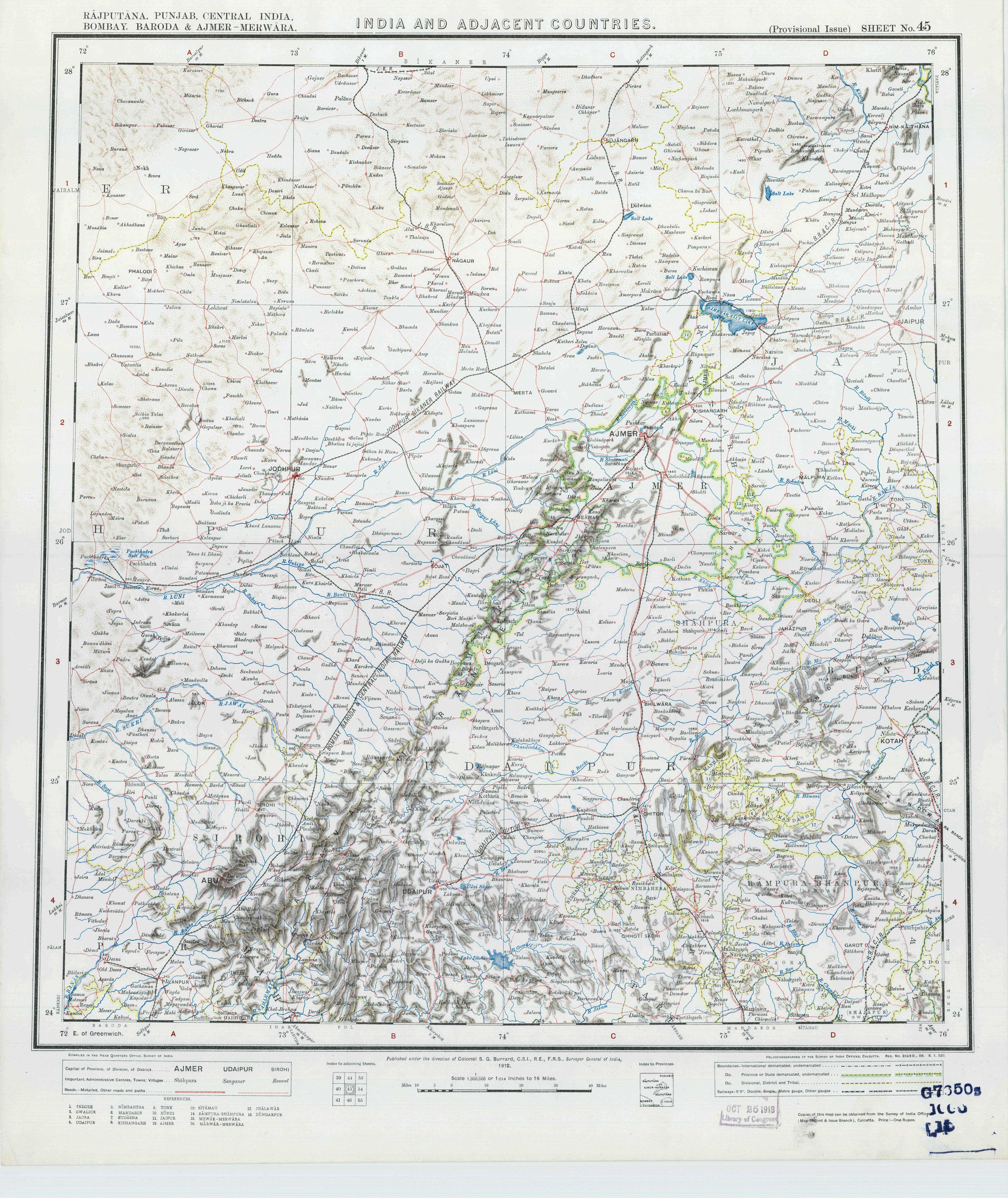
1912 topo map from University of Texas library.

5. About officer stationed in Kotra and his hunting

"Major Hutton Dawson, of Kotra, has a pair of samber horns the measurements of which are near the published record; the animal was shot in the low hills near Kotra."

Adams, A. (1899). The western Rajputana states: a medico-topographical and general account of Marwar, Sirohi, Jaisalmir. London. p. 166. Available at https://catalog.hathitrust.org/Record/006574015

Geography

1. Report on Wakal River

One important river of Kotra tehsil is Wakal discharges into the Sabarmati a few kilometers downstream of Kotra village. There is a significant study of the Wakal River watershed done by World Vision, a non-profit agency. The report can be found here [permalink].

2. Notes from 1880-81 Survey of India

This report cites that a few observations were made in the Kotra area to form the "basis of a large scale survey of the Cantonment of Kotra." This gives the impression that the town of Kotra was surveyed at the time.

During the survey, the survey party has to employ "considerable tact and judgment." In one instance, the surveyor had to move his camp without delay when the "attitude of the Bhils became somewhat threatening," returning when the situation had calmed down. In another instance, a survey party  was surrounded and a surveyor was "hustled off into the center of the pal (village) by a number of armed men; later released at the intervention of women.

General Report on the Operations of the Survey of India, Office of the Superintendent of Government Printing, Calcutta, 1882, p 11. Link.

Report on survey of the Kotra area by Major C. Strahan, in charge of No. 1 Topographical Party:

The large ranges of hill run, as a rule, nearly North and South. The scenery is decidedly fine - the finest I have see in India, away from the Himalayas; some of the gorges, particularly the three by which the Wakli (Wakal River) flows through three large ranges, are very striking. The finest of all is that between Alsigarh and Gorana, known as the Wankli Nal. I was also particularly struck by the immense size and great age of many of the Banian trees in the valleys.

The rivers flow through [the area] are the Wakal, the Sai (Sei) and the Sabamatti (Sabarmati). They all join to form the Sabamatti, which flows by Ahmedabad; they are mere mountain torrents, flowing down broad, stony or rocky beds, with patches of sand as they get farther south, until at last the bed of the Sabamatti becomes principally sand.

General Report on the Operations of the Survey of India, Office of the Superintendent of Government Printing, Calcutta, 1882, Appendix  'Extracts from The Narrative Reports of the Executive Officers', p 12 . Link.

3. Alps

"Let us take a section of it, from the capital, Oodipur, the line passing through Oguna, Panurwa, and Meerpur, to the western descent near Sirohi, a space of nearly sixty miles in a direct line, where "hills o'er hills and alps on alps arise," from the ascent at Oodipur to the descent to Marwar."

Geography of Rajasthan or Rajputana, p. 11. Available at https://catalog.hathitrust.org/Record/012456805

4. Historical Rainfall

1891-1922:
https://catalog.hathitrust.org/Record/012504759

1875-1890:
https://catalog.hathitrust.org/Record/007957916


5. Drought of 1899-90

"In 1888, the rain ceased in August and relief works in the Hill Tracts gave employment to many starving Bhils. In 1899, the rainfall was very scanty and little or no rainfall after June. Crops failed and fodder was exceedingly scarce. Relief works and poor houses were started in September. In the Hilly Tracts, the famine was very acute and the situation had become desperate by November 1899."

Unknown book (Link)

The Rev. C.S. Thompson wrote from Kotra on January 25, 1900: Major and Mrs. Dawson of the Bhil Corps in Kotra have turned the school house into an asylum for children, who are fed twice daily. For the sick, some of the buildings are used as hospitals. For those able to work, Major Dawson has started relief works. Thompson died shortly thereafter, probably by contracting cholera (see p. 469 of cited document).

Church Missionary Society (1900). The Church missionary intelligencer. London: Church Missionary Society, pg. 294. Available at https://catalog.hathitrust.org/Record/100188881

"The famine among the Bhils is becoming more and more acute. Corpses and skeletons are lying about in all directions. The mortality has been very great among the little children and old people. The starving crowds who come to our relief centres seem to have lost every bit of feeling, except the intense craving for food."

Church Missionary Society (1900). The Church missionary intelligencer. London: Church Missionary Society, pg. 455. Available at https://catalog.hathitrust.org/Record/100188881

A book about the 1899-90 Famine

Scott, J (1904). In Famine Land: Observations and Experiences in India During the Great Drought of 1899-90. New York and London: Harper & Brothers Publishers. Link.

6. Note about principal villages from 1880-81

The principal villages we met with (towns there were none) were Jura, Ogna, Manpur, Bikarmi (Bikarni), and Mairpur (Merpur) in Meywar (Mewar), and Rohera (Rohida) and Pindwara in Sirohi. the first three (Jura, Ogna, Manpur) are the residences of petty chiefs calling themselves Rajputs, but in reality only Grasias, i.e., the descendants of Rajput Chiefs and Bhil wives; they consist of a few mud huts with perhaps one or two bania's shops.

General Report on the Operations of the Survey of India, Office of the Superintendent of Government Printing, Calcutta, 1882, Appendix  'Extracts from The Narrative Reports of the Executive Officers', p 12 . Link.

7. Bhomat

"In the minds of its inhabitants, the former State of Udaipur was considered to consist of three main parts: the plaint of the north and east, known as Mewar; the foothills called Magra, and the highlands of the south and west, the Bhomat."

Carstairs, G. Morris (1955), Bhil Villages of Western Udaipur: A Study in Resistance to Social Change, India's Villages. Bombay: Asia Publishing House. p. 68. Link.